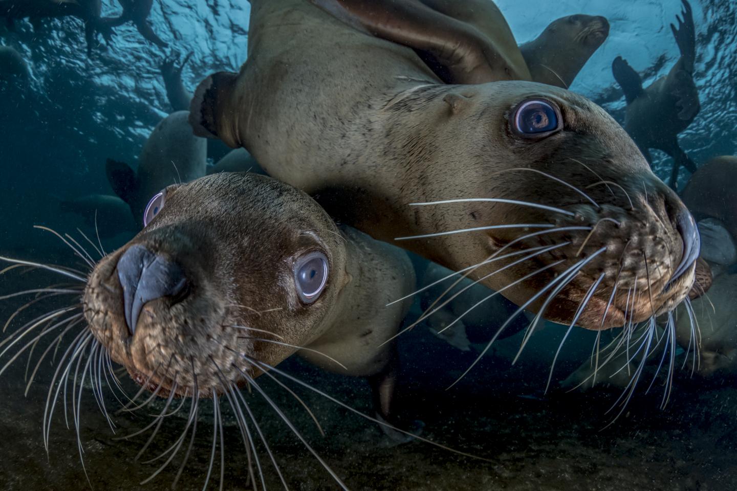
Steller sea lions sometimes become entangled in fishing nets set for other species. Powerful new techniques for mapping of ocean mixing zones help identify “hotspots of risk” where this is most likely, helping fishermen avoid unintended bycatch.
Increased computing power has given fisheries researchers new tools to identify “hotspots of risk,” where ocean fronts and eddies bring together masses of fish, fishermen and predators, raising the risk of entangling non-target fish and protected species such marine mammals, sea turtles and sharks.
Using a novel, high-resolution “Lagrangian Coherent Structures” mapping technique, scientists are able to model dynamic features in ocean surface currents. The capacity for improved, near real-time mapping of ocean fronts and eddies may now help alert fishermen and fisheries managers to the increased risk so they can try to avoid those protected species and better target the species they are after, the scientists wrote in an article published todayin Proceedings of the National Academy of Sciences.
“Understanding how pelagic fish and marine predators interact with the environment can help fishers and managers avoid bycatch of non-target and protected species, while maintaining the catch of commercial species,” said Kylie L. Scales of the University of the Sunshine Coast (USC) in Australia, and lead author of the new research. “Our findings give managers information at the broad scales they need, which could help inform development of dynamic ocean management.”
Lagrangian Coherent Structures are known from the field of fluid dynamics and represent areas of mixing, where different water masses meet and tend to concentrate marine life and in turn fishermen. The new approach uses high-resolution ocean modeling to help detect and predict the areas as they form and move through the ocean, and highlight the elevated risk they may present.
Increased computing power in recent years gives researchers the tools to recreate and better understand complex oceanographic processes such as the formation of such zones, which when mapped off the California Coast look like an interlocking network of whirls and swirls of varying water masses.
“Understanding where bycatch risk is greatest can help fishermen avoid it, and can help us manage fisheries sustainably,” said Elliott Hazen, a research ecologist at NOAA Fisheries’ Southwest Fisheries Science Center and coauthor of the new research. “By identifying which oceanographic features are most likely to result in bycatch, we can improve existing dynamic ocean management tools such as EcoCast to provide novel solutions to address the challenges of fisheries management.”
EcoCast is a mapping tool NOAA Fisheries scientists recently developed to help fishermen identify productive fishing areas, while avoiding areas with high risk of catching other, unintended species.
In the new study, scientists used the models of ocean dynamics to assess the probability of capturing commercial fish species such as swordfish, opah and tuna against the risk of capturing other species fishermen want to avoid such as some species of sharks, sea turtles and whales. They found that drift gillnets set in conjunction with such zones were more likely to catch the swordfish they target, but also greatly raise the risk of catching certain non-target species.
Fishermen likely target the zones because they tend to attract swordfish, but the scientists suggested that shifting fisheries closures in certain areas at certain times, or fishing at particular depth ranges, might help preserve the swordfish catch while minimizing the risk of catching other, unintended species. NOAA Fisheries is increasingly considering options for such “dynamic ocean management,” where managers adjust fishing rules in real time based on ocean data.
“Given the complexity of the bycatch problem, a suite of complimentary solutions will be necessary to support a sustainable seafood supply sufficient to meet future demand,” wrote the scientists from USC, NOAA Fisheries, the National Center for Atmospheric Research, Old Dominion University, and San Diego State University. “Our results highlight the conservation and management value of understanding the mechanisms through which the physical environment structures marine species distributions.”


