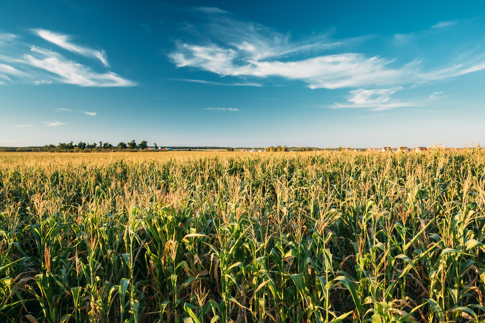
From space, corn and soybean fields look similar, making it difficult to gather accurate data on how much of each crop is grown for monitoring and decision-making applications, including crop insurance, land rental, supply-chain logistics and commodity market future projects.
However, researchers from the University of Illinois at Urbana-Champaign have developed a new method to distinguish between the two major crops with a 95 percent accuracy rate using NASA satellite data, a new algorithm, and the processing power of supercomputers.
Currently the U.S. Department of Agriculture (USDA) releases data for national corn and soybean distribution about four to six months after the harvest, causing a lag for policy and economic decisions.
With the new technique, scientists can differentiate between the two major crops by by the end of July for the same year for each field, instead of the coming year’s spring reported by the USDA.
“That has a huge time lapse. But by using our algorithm, if you grow crops in April or May, you can get to know the acreage with extremely high accuracy around late July,” said Kaiyu Guan , PhD, an assistant professor in the Department of Natural Resources and Environmental Sciences at the University of Illinois at Urbana-Champaign, in an interview with R&D Magazine. “We basically pushed the timeline of the same information to a half year before the government data release.”
For the last 40 years, satellites called Landsat have continuously circled Earth to collect images using sensors that represent different parts of the electromagnetic spectrum.
To take the full advantage of the Landsat data, the researchers opted to use a supercomputer— Blue Waters—to generate a time-series Landsat data stack, for all the major spectral bands.
The Blue Waters supercomputer features a large memory cache and rich computer resources that allowed the researchers to ultimately determine how a deep learning approach can be used for crop-type classification and how the method could be used early in the growing season for optimal accuracy.
The researchers then analyzed the data using a deep neural network, focusing the analysis within Champaign County, Illinois, which still required the supercomputers to process a few terabytes of data.
Guan said that while the initial foray included just data about corn and soybeans from Illinois and Nebraska, they are working on expanding the scope of the crops and cover the entire Corn Belt.
“The algorithms can be applied to other places, and as part of the project we are trying to map out crop types for the whole state of Illinois and the whole state of Nebraska,” he said. “Our algorithm is able to discern these types of crops with very similar accuracy.”
However, Guan also said that the current technology limits the researchers to large-scale fields.
“The only caveat I would say is that the current data that we use is 30 meter resolution from NASA and so if we are talking about very small scale fields like the fields that grown in Africa and other developing countries,” Guan said. “To overcome this challenge, we have developed advanced fusion algorithms to allow the generations of daily, 10 meter images with no gaps and clouds, by integrating various satellite data from NASA and European Space Agency. So that we can go to 10 meter fields for everywhere.” A youtube video illustrates the ideas.
Guan said the researchers eventually want to develop a database that will allow farmers and other decision-makers easy access to the data.
The mentioned study was published in Remote Sensing of Environment.