Connected and autonomous vehicles are gobbling up headlines and stoking the fire of a technological revolution that could ultimately reshape the American transportation landscape.
But, as we continue to see new and emerging technologies change the transportation industry, we must not only look at the end results – a complete influx of autonomous vehicles that are connected to both each other and the physical and data infrastructure we have implemented. Before we arrive at this destination, we must consider the key steps along the way to get us from where we are now to where we need to be in the future.
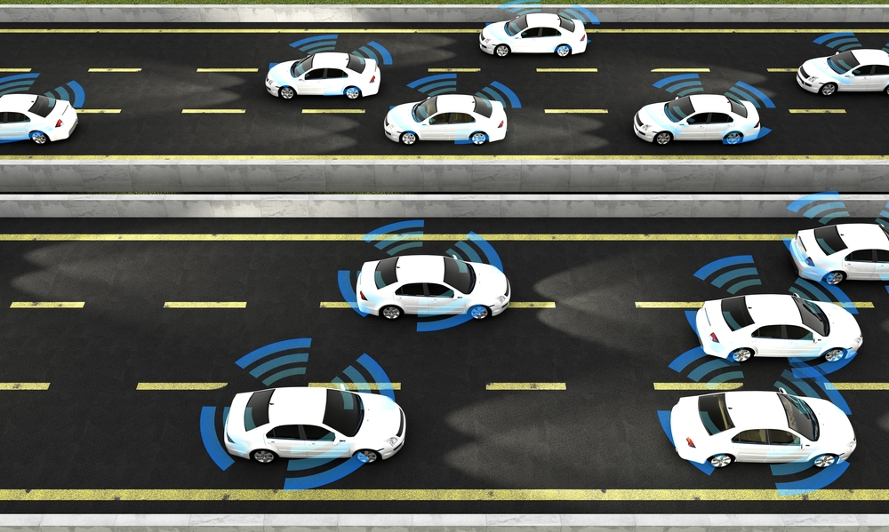
Much of the puzzle will not be solved by vehicle manufacturers. To bring on the influx of connected, autonomous vehicles (CAVs), transportation agencies across the country will be charged with creating a connected infrastructure.
So, how and when will the technology in the vehicles communicate with transportation facilities? Well, that’s the elephant in the room. We all see the technology and know the migration to automation is coming – 41 states have either introduced or enacted autonomous vehicle legislation since 2012, according to the National Conference of State Legislatures. To move from pockets of CAVs to widespread adoption, however, state transportation agencies have a long way to go.
The revolution comes to town
The grid system that currently serves major cities across America presents an infrastructure that CAV technologies can build off of. A smarter grid will feature traffic signals that aren’t just timed to be in sync with each other; instead, they will be in sync with the CAVs around them.
Smart traffic signals will inform CAVs when the light will change from red to green. As a CAV approaches, the vehicle may slow down to sync up with the approaching lights or recalculate its course to find a better route.
Smart parking facilities will communicate with CAVs to pull these vehicles off of the crowded city streets quicker, reducing redundant vehicle movements around city blocks. By addressing the most congested spots first, the smart grid can pull vehicles from the highways going into crowded areas using the most efficient real-time routes, thus alleviating congestion on nearby freeways and exit ramps.
Connecting the dots
While American cities have grids in varying degrees of technological sophistication and condition, highways that snake through more rural areas likely aren’t as prepared for CAVs. To help bring these roads up to speed, roadside sensors can be implemented.
The technology already exists on many toll roads and managed lane facilities. Perhaps you already have a small transponder on the windshield of your vehicle that communicates with toll gantries as you pass by.
Similar technology can allow CAVs to transmit information, which they can then pass along to other CAVs nearby. Think of this process as a game of automotive telephone with no wires – or an automated version of the crowd-sourced traffic application, Waze. These units can help CAVs transfer vehicle, road, traffic and even weather information to each other.
On multilane highways, one lane could be set aside for CAVs when there are enough of them on the roads. These separated lanes – even if they’re only separated by striping – will give these vehicles an opportunity to connect with each other, form a platoon and maximize efficiency as they travel.
CAV lanes could be a boon to the trucking industry. If a few autonomous commercial trucks can form a platoon in these lanes, they will be able to create a mini-train, using the draft to save energy and reducing the capacity of roadway they are taking up.
For transportation agencies, a question of when
The connected and autonomous revolution is going to challenge the transportation industry tremendously, but updating infrastructure is only part of the equation. For transportation agencies, the greatest equation will be how to gather, process, store, share and analyze the data from CAVs. Transportation agencies must look to develop data platforms that incorporate data analytics to help with things such as traffic trends, mobility needs, supplements to transit, and the advancement of mobile phone applications.
The data collected could change even the very basics and standards of road design. For instance, will 3-D mapping be updated at a dynamic pace so that project designs could use these precision maps for plan development? Because of their efficiency and connectivity, will the influx of CAVs reduce the width of traffic lanes from 12 feet to 10 feet, thus providing more capacity within the same footprint of roadway?
And, then, there’s the question of when. When will we implement these refined standards? When will an agency take the leap from its current policies to become an early adopter of CAV criteria, and what will that criteria be? Or will most agencies wait and see how these new CAV initiatives develop?
Whatever the changes, they won’t come as a light switch. But the sooner more agencies begin factoring in CAV needs when working on new transportation projects, the sooner our nation’s infrastructure will be ready for widespread adoption.