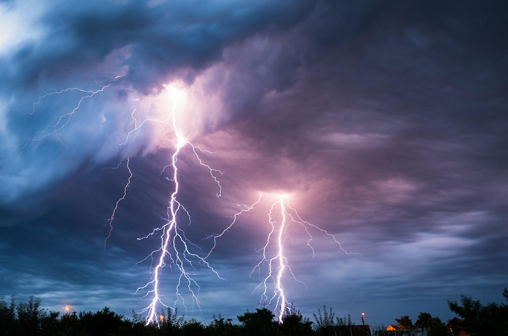
A new study suggests using lightning strike data as a way to improve the accuracy of storm forecasts. (Credit: Shutterstock)
A lightning striking hundreds of miles away may soon be used to forecast weather.
Researchers from the University of Washington have developed a system to use lightning strike data as a means to predict storm forecasts, according to a new study published in the American Meteorological Society’s Journal of Atmospheric and Oceanic Technology.
Robert Holzworth, a UW professor of Earth and space sciences and co-author of the study, said in an interview with R&D Magazine that the system can be used to help with forecasts for any regions between about +50 latitude and -50 latitude and will help improve the accuracy of weather forecasts.
“What you really want to do, though, is predict severe storm weather when none yet exists,” Holzworth said. “That is, before any lightning occurs in that region, you would really like to know if conditions are going to be such that thunderstorms may occur.
“To do that, we need to do a better job with the very large scale input to our weather model initialization, by including, say the weather in the tropics, where much of the moisture that slams into our West Coast comes from. Lightning can help that and may, therefore, help our long-term weather accuracy, one to two-week accuracy can possibly be improved by including tropical lightning ingested into the models.”
In conjunction with the study, NASA is scheduled to launch a satellite on Nov. 19 that will provide the first nonstop, high-tech eye on lightning over North America, which could help forecast storms over the ocean, where no ground instruments exist.
The GOES-R satellite will be the first geostationary satellite to include an instrument to continuously watch for lightning pulses by using brightness to identify lightning against network data.
“So, when we see lightning, we know that the cloud has certain real time conditions needed for lightning,” he said. “Thus, if we use lightning as a guide to input parameters for any weather forecasting model, then we are doing a more accurate, detailed initializing of the model, which can then make for a better prediction of the weather at a point 12, 24, 36, 48 hours later.
“So, using lightning data does not only help predict future severe storm weather, but can help with forecasts in general. But what we have shown is not specifically a tool to ‘predict tornados and thunderstorms’, but rather a tool for better initializing of weather forecast models.”
The researchers have been tracking global lightning from the ground for more than a decade and used the derecho thunderstorm system that swept across the U.S. in 2012 and a 2013 tornado that killed several people in the Midwest in 2013 as cases to test the method.
Data from the UW-based WorldWide Lightning Location Network, which has a global record of lightning strikes dating back to 2004, which currently has more than 80 detection sites at universities or government institutions around the world, was used for the study.
Weather forecasts are primarily reliant on ground stations and weather satellites for information to start or initialize the numerical weather prediction models that are the foundation of modern weather predications. However, there remains a void in having accurate, real-time information about air moisture content, temperature and win speed in places where there are no ground stations.
“We have less skill for thunderstorms than for almost any other meteorological phenomenon,” co-author Cliff Mass, a UW professor of atmospheric sciences, said in a statement. “This paper shows the promise of lightning information. The results show that lightning data has potential to improve high-resolution forecasts of thunderstorms and convection.”
According to Mass, more data on lightning-heavy tropical ocean storms could improve weather forecasts far from the equator since many global weather systems originate in the tropics.
The latest theory is that lightning occurs because ice particles within clouds separate into light and heavier pieces and this creates charged regions within the clouds. Strong updrafts of wind then make that altitude separation big enough and an electric current flows to cancel out the difference in charge.
The study can be viewed here.