EpiEarth predicts the number of disease cases, disease risk and the impact of mitigations on potential epidemics. The software can predict on a day, season or decadal timescale, giving officials the necessary time to plan. The modular design enables the substitution of different models, diseases or vector species, making EpiEarth generalizable across vector-borne diseases that affect humans, crops and livestock.
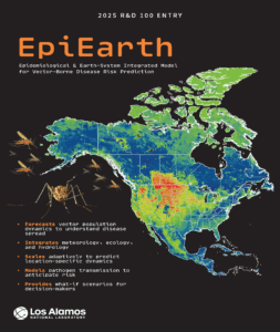
EpiEarth predicts disease spread on a continental scale. Photo courtesy of LANL
The team was spurred to create this tool as infectious diseases began to spread across other countries.
“15 years ago, those in both earth sciences and epidemiology, we could see this was coming. We knew these things were moving north, and so we needed to predict that,” said Jeanne Fair, co-principal investigator.
“Human health is a very important component for national security, and vector-borne diseases are just one segment of human health,” added Morgan Gorris, an investigator on the project.
Leveraging ML
The team on EpiEarth used machine learning (ML) clustering algorithms to design the technologies that allow the software to predict at a continental scale by analyzing possible habitats for vectors, such as mosquitoes and ticks.
“We used a machine learning/AI approach called Maxent Modeling. It’s a type of ecological niche modeling, and that gives us a measure of habitat suitability, so a map of where we would expect these vectors to live,” said Carrie Manore, co-principal investigator.
The team also used information about the landscape complexity, such as elevation, to predict vector population, said Chonggang Xu, co-principal investigator.
The researchers used a weather-driven life stage model to predict the nonlinear relationships between and within mosquito populations to allow EpiEarth to accurately predict disease spread.
The team created a measure called eco population to allow for scalability. “You’re talking about going from a small puddle of mosquitoes breeding all the way up to decadal rapid and long-term environmental changes,” said Fair, “The eco-pop is a geographical way of spatially describing habitat for both of the scales that then can connect.”
Improving human health
Released on GitHub last year, EpiEarth is already making a difference. The team at LANL is working with the San Diego Public Health Department to model mosquito population dynamics to inform decision-makers who are responding to pathogens such as West Nile Virus, which has seen increasing numbers in the U.S. recently.
EpiEarth was ranked high for model accuracy in the 2022 Centers for Disease Control and Prevention West Nile Virus Forecasting Challenge. It has also been used to generate maps used to inform others about West Nile Virus, Japanese encephalitis virus and Oropouche virus.
The software was acknowledged in the National Climate Assessment. “I think that shows how impactful our work was in such a short time period,” said Gorris
The team hasn’t stopped working on EpiEarth. “We are thinking fungi pathogens and their impact as well as food security,” said Xu, “I think there’s potential for different types of diseases and the introduction of more conditions. I see a lot of potential here.”